Elevation
Precise elevation mapping from drone data to plan, grade, and execute with confidence before a blade hits the ground.
 MenuBook a discovery call
An earthwork app that thinks like a contractor. Leteligence turns drone-captured site data into precise volume calculations, grading plans, and field-ready measurements—in one focused platform.
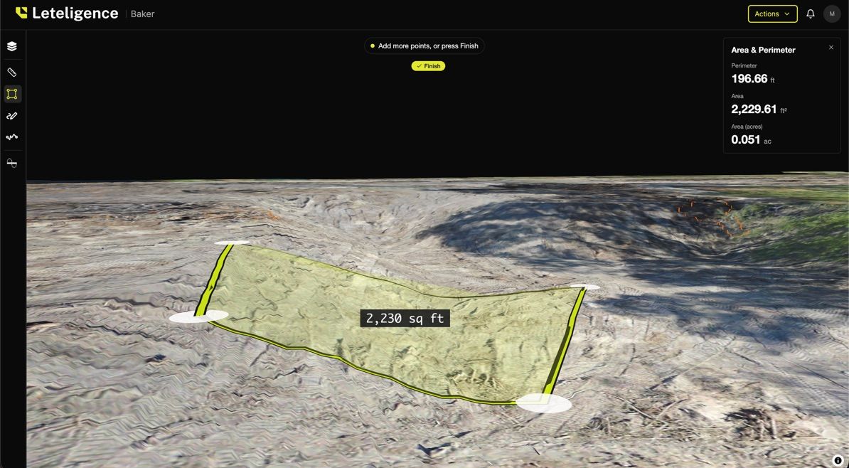
Five purpose-built measurement tools, all operating on the same drone-captured point cloud. No file exports, no re-keying, no parallel spreadsheets.
Precise elevation mapping from drone data to plan, grade, and execute with confidence before a blade hits the ground.
Instant volume calculations that optimize site balancing and eliminate costly material overages.
Accurate distance measurement for trenching, utilities, and foundation layout—direct from drone capture.
Site boundary and surface area mapping for planning and material estimates without a second trip to the field.
Automatic soil movement calculations baked into every estimate so expansion and compaction never catch you off guard.
Bid faster, run tighter jobs, and stop eating cost overruns caused by bad volume math.
Replace multiple desktop tools with one field-ready platform that speaks drone data natively.
Get site-ready earthwork quantities from drone data before permits are pulled.
Understand cut/fill, drainage, and grading constraints from aerial data—before the earthwork contract is signed.
Leteligence started as a custom software engagement—a purpose-built earthwork intelligence platform for a heavy civil contractor. The need was real, the workflow was universal, and the software was too good to keep internal.
It's now a standalone SaaS platform serving contractors, engineers, and developers across construction, mining, and civil engineering. It's the proof of concept for what Dialogica does: find the repeatable workflow, build software around it, and turn it into something the industry can depend on.
Learn more at leteligence.comBook a demo with the Leteligence team and see cut/fill, elevation, and area measurement running on your own drone data.